This comes as an ENSO (El Niño-Southern Oscillation)-Neutral pattern continues to hold with “near average” sea surface temperatures through much of the Pacific Ocean around the equator.
However, CPC/NWS/NCEP says that based on the most recent guidance/observations, conditions, including “below-average subsurface temperatures” and “low-level easterly wind anomalies” in the coming months appear favorable for the development of La Niña.
Most favorable months for this emergence, per the CPC/NCEP/NWS are September through November, with a 66% chance of La Niña development. If/when La Niña develops, it is expected to likely (74% chance) persist through the winter (November-January).
So how exactly does the ocean and its temperature behaviors impact us here in Siouxland?
Well, it has to do with the jet stream, which essentially dictates our weather and weather patterns here locally?
Jet streams are narrow bands of rapidly moving winds in the upper layers of our atmosphere…think of it as a river of wind! And a very important fact to remember about the jet streams is that the winds within them, moving as fast as nearly 300 mph, move from west to east and only west to east. Also keep in mind, the jetstream is generally stronger in the winter months when we see larger and more pronounced temperature differences.
Here in Siouxland, there are two different jet streams that control our weather, the subtropical and the polar (midlatitude) jetstreams. These follow the boundaries between warmer and cooler air, so as we see them shift north in the summertime and south in the wintertime.
Typical Position of Polar/Mid Latitude Jet Stream (Summer vs Winter)
With this typical positioning of the polar/midlatitude jetstream, storms/storm systems, as usual, follow that jetstream which takes those systems throughout the U.S and despite small north or southward jogs in the jet, precipitation tends to be rather average for the most part as storm systems follow typical tracks. This typical jetstream placement also leads to average temperatures with typical dips below or jumps above average.
During La Niña patterns though, the colder ocean temperatures shift the polar/mid-latitude jet farther north than typical and leads to a wavier jetstream which leads to increased storminess leading to increased precipitation, and colder than normal temperatures in the central and northern US and drier and warmer than normal conditions in the southern US. These weather pattern changes are most common during the northern hemisphere winter months.
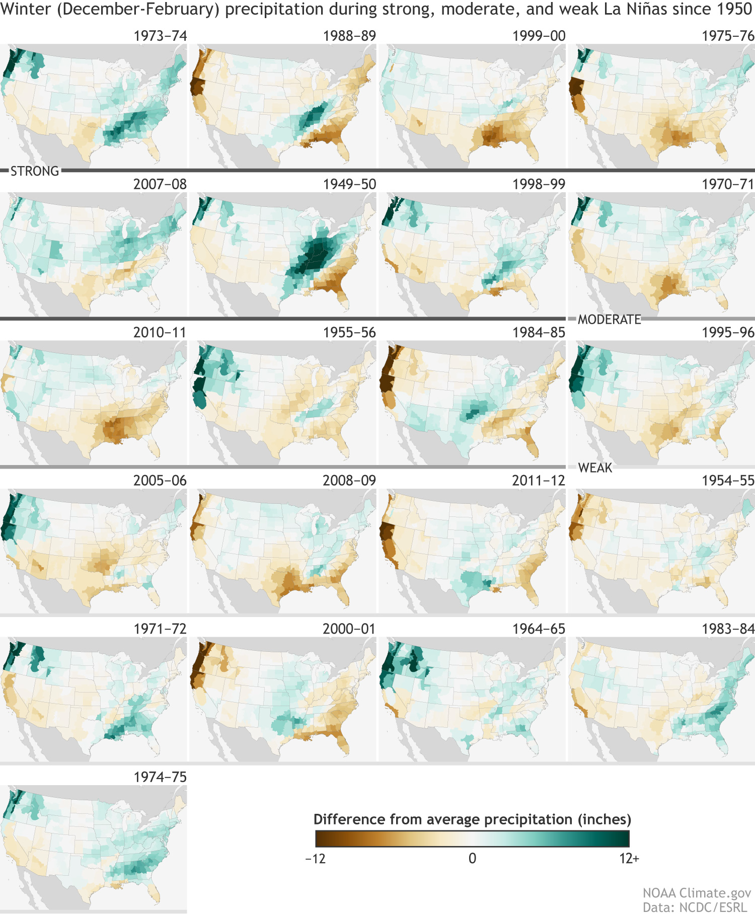
Most of Siouxland generally sits somewhere in the middle when it comes to La Niña years. Based off climate data from all La Niña years since, Siouxland tends to have about equal frequency of above/slightly above or below/slightly below average precipitation and temperatures during a strong La Niña event.
During a moderate La Niña event, Siouxland tends to see below average temperatures and above average precipitation more often than not. And during a weak La Niña event, temperatures tend to fall below average with near or above average precipitation.
So, although latest forecasts have pushed back timing on the development and emergence of a La Niña, conditions are favorable for development in the coming months, there’s a good chance Siouxland sees at least slightly below temperatures and slightly above average precipitation this winter. We’ll have to keep an eye on how this develops.
Copyright 2024 Nexstar Media Inc. All rights reserved. This material may not be published, broadcast, rewritten, or redistributed.
Get updates delivered to you daily. Free and customizable.
It’s essential to note our commitment to transparency:
Our Terms of Use acknowledge that our services may not always be error-free, and our Community Standards emphasize our discretion in enforcing policies. As a platform hosting over 100,000 pieces of content published daily, we cannot pre-vet content, but we strive to foster a dynamic environment for free expression and robust discourse through safety guardrails of human and AI moderation.


 Most Popular
Comments / 0